Sunday 29th May 2022
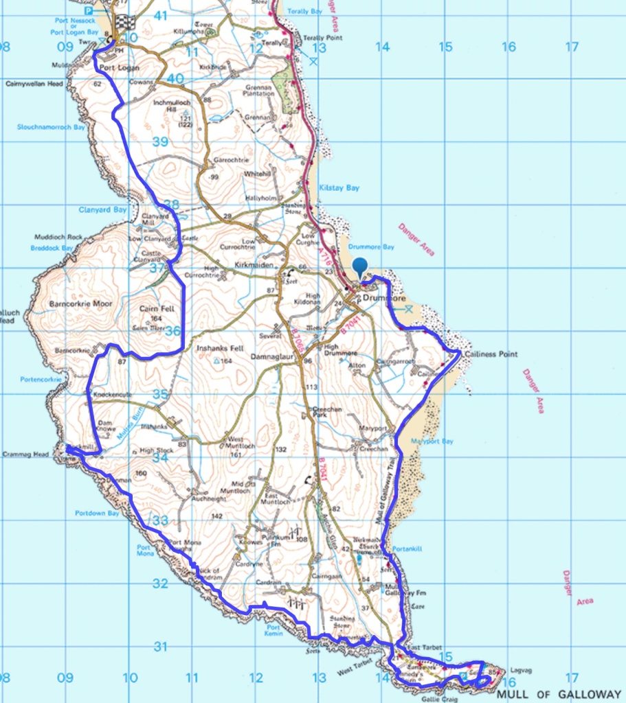
Being a Sunday there are no buses and so we will need a taxi to get between the beginning and end of the walk. Because it is a peninsula walk the start and finish are only 4.5 miles apart – but walking a hilly road back across the peninsula to the car after 19 miles of cliff walking might be too much. We opted for the certainty of driving to the end of the walk at Port Logan and getting a taxi from there to Drummore so we would be walking to the car. Unfortunately the only taxis are in Stranraer and so they insisted on charging from Stranraer. So that was £27 for a 4.5 mile ride.

We were walking by 9:00 and it was a sunny day with intermittent cloud and a light wind. We were amused and pleased by the following sign.
We were walking by 9:00 and it was a sunny day with intermittent cloud and a light wind. We were amused and pleased by the following sign. We didn’t see any cats but did hear a dog barking – which may have been why the cats feel the need to cross the road. We were continuing on the Mull of Galloway Trail to start with and so the route was well-marked and easy to follow.

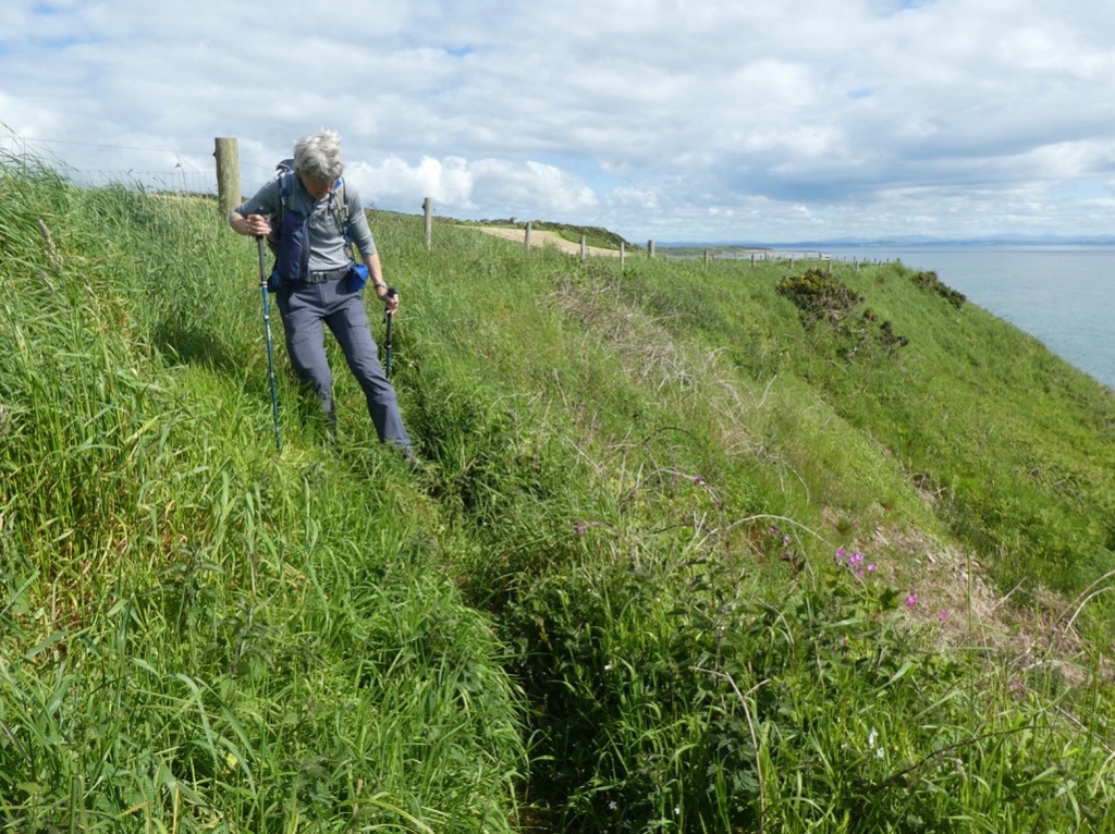
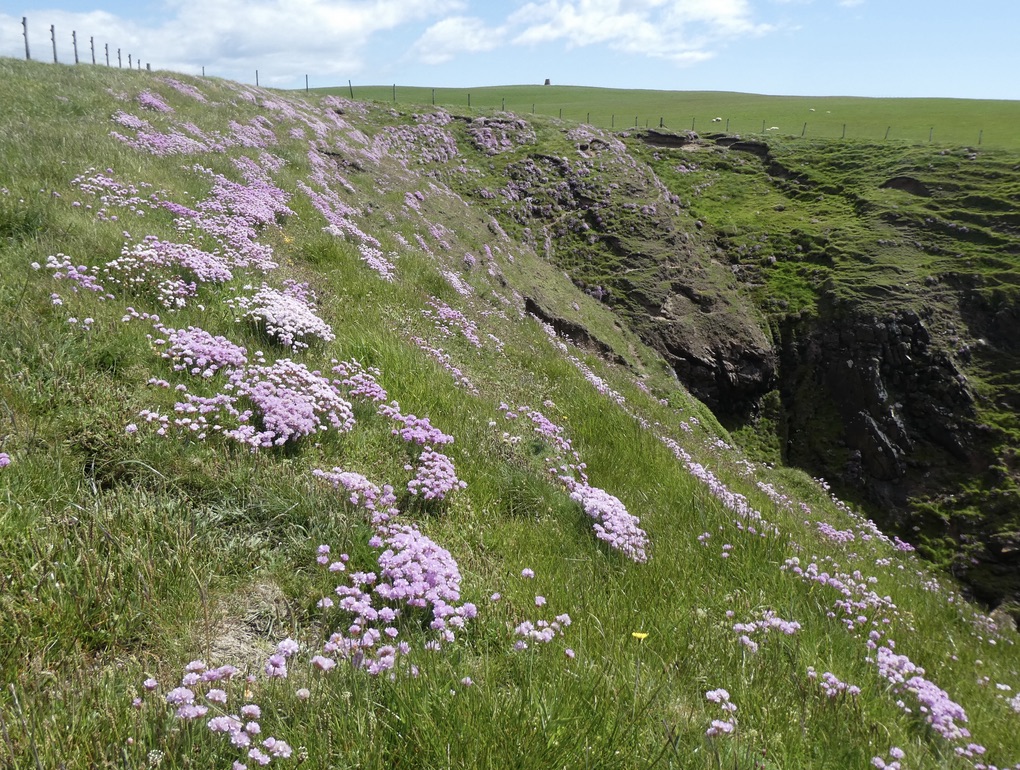
The path remained on the cliff top and in some places the long vegetation had been strimmed. In others it had not.

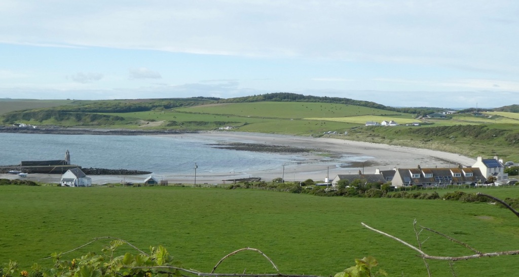
At Maryport Bay, which is really just caravans, some campers had pitched their tents right across the path. That’s the right to roam and wild camp for you.

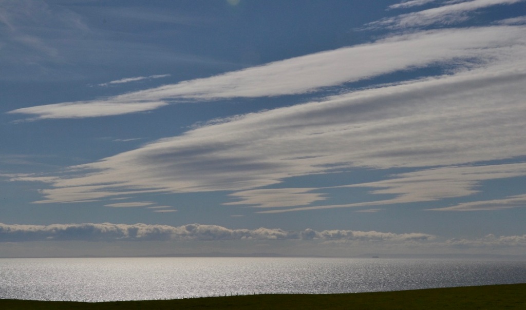
It was all very attractive and the sea was twinkling in the sunshine. At East Tarbet there is a semi-formal, wild camping site.

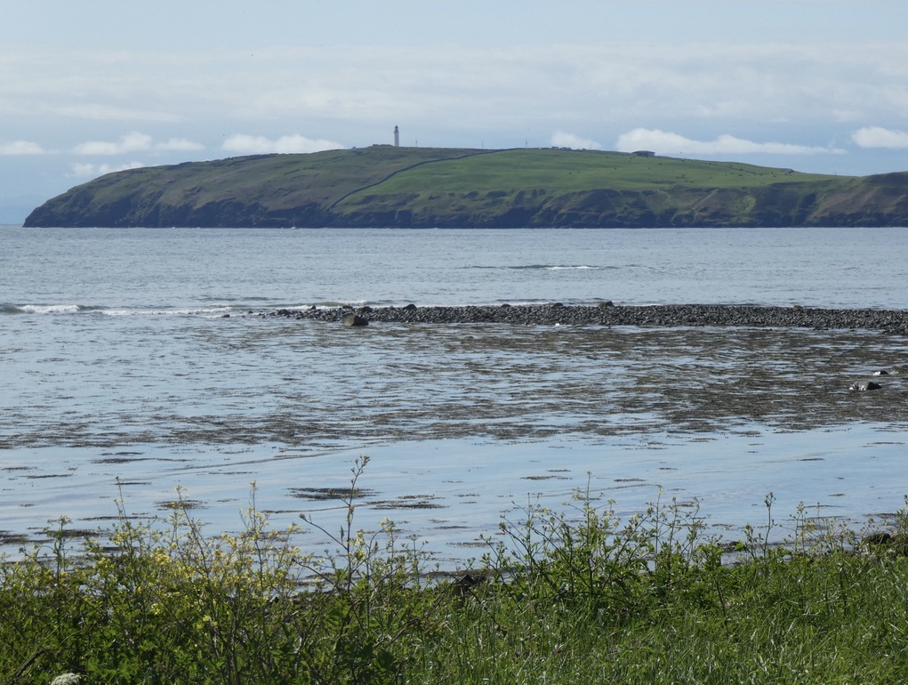
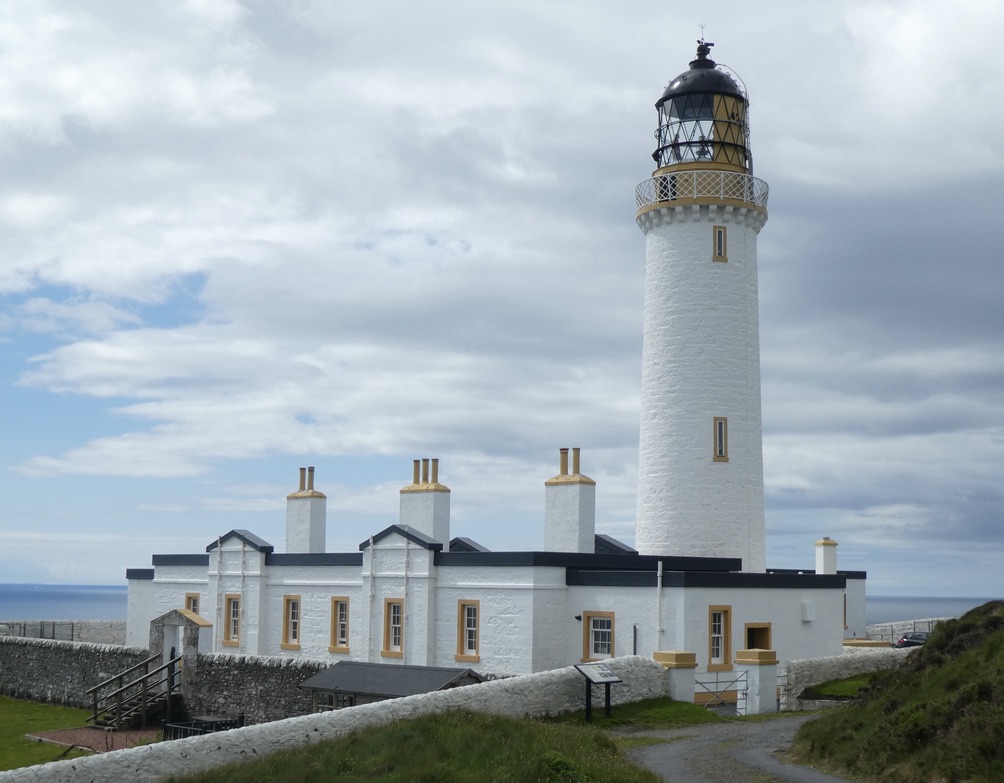
From there we continued along the coast path to a stone wall that took us up to the lighthouse and a quick tour of Scotland’s most southerly point, its Land’s End. Fortunately there are no tacky tourist attractions, there is just the RSPB info centre, the lighthouse which one can go into if one has the time and an excellent café which requires a visit even if you don’t really have the time. There are also views across to the Isle of Man and Northern Ireland; they are roughly equidistant from the lighthouse.

We needed a rest and the café was the obvious place. We had some excellent coffee and superb traybakes and ordered some take-out sandwiches for our lunch.
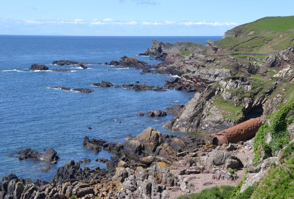
Refreshed, we set off on the west coast of the Mull of Galloway. We were no longer on the Mull of Galloway Trail as that ended at the lighthouse but the path was listed as a core path.


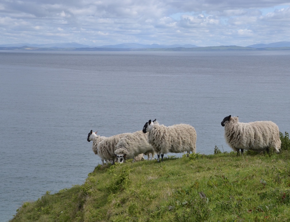
There was no sign indicating the start but it was fairly obvious to experienced coast walkers like us where the coast was and so we followed it along the cliff top. I noticed this round hole not far from where a CCTV camera was set up by the RSPB to monitor a nest. There is a cave marked on the map – perhaps that is what it is but we did not investigate because we only saw it when we were on the next headland. There was a field with a lot of cows with calves and possibly a bull. (It had a ring in its nose but what it had elsewhere was hidden by all the cows milling around)


We came to a proper footpath gate so we knew we were “on track”. The path continued keeping quite close the the cliff edge. There were one or two footpath markers and even one very substantial footbridge. Fortunately any field margins we had to walk had already been cut for silage and so we could walk on the very short stubble remaining. We did notice at least two way marker posts that had been removed from the ground complete with their concreted base. This suggested to a degree of agricultural intervention since I cannot believe any vandal came a long with pick and shovel to remove entire posts.
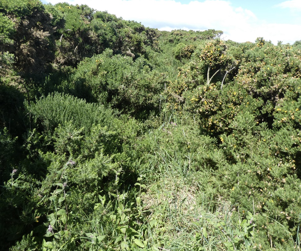
Then we came to a formal sign welcoming walkers to the Rhinns of Galloway and explaining the exceptional scenery etc. We passed through a pedestrian gate and that was it. The path disappeared into dense gorse which we struggled through it for 200 yards or so before scrambling over a barbed wire-topped wall into a field.


Progress was a little easier but there were no more footpath markers and no gates or stiles. The local farmer had installed a lot of new barbed wire fences and had not wasted money on aids for walkers that he didn’t want on his land anyway. My piece of pipe insulation came in handy several times.
All this made for slow progress and so it was not until 14:00 that we stopped to eat our sandwiches somewhere near Knock Knowe I think. We were getting used to making up our route as we went along, trying to choose the line of least resistance, however I was well aware we were making quite slow progress.
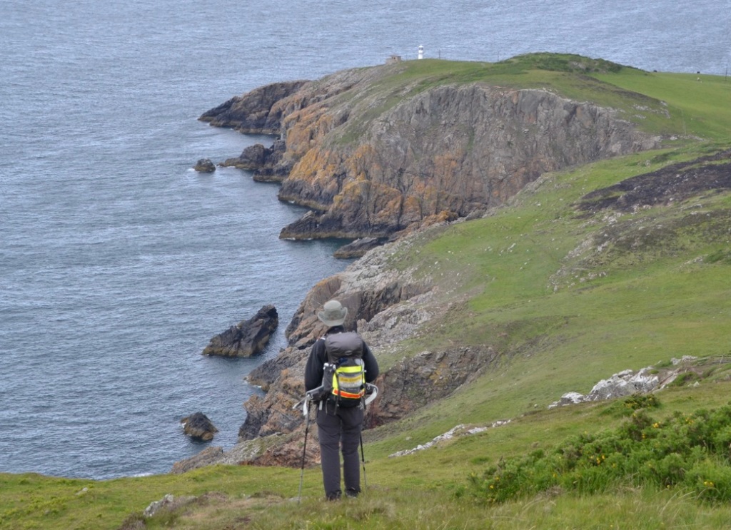
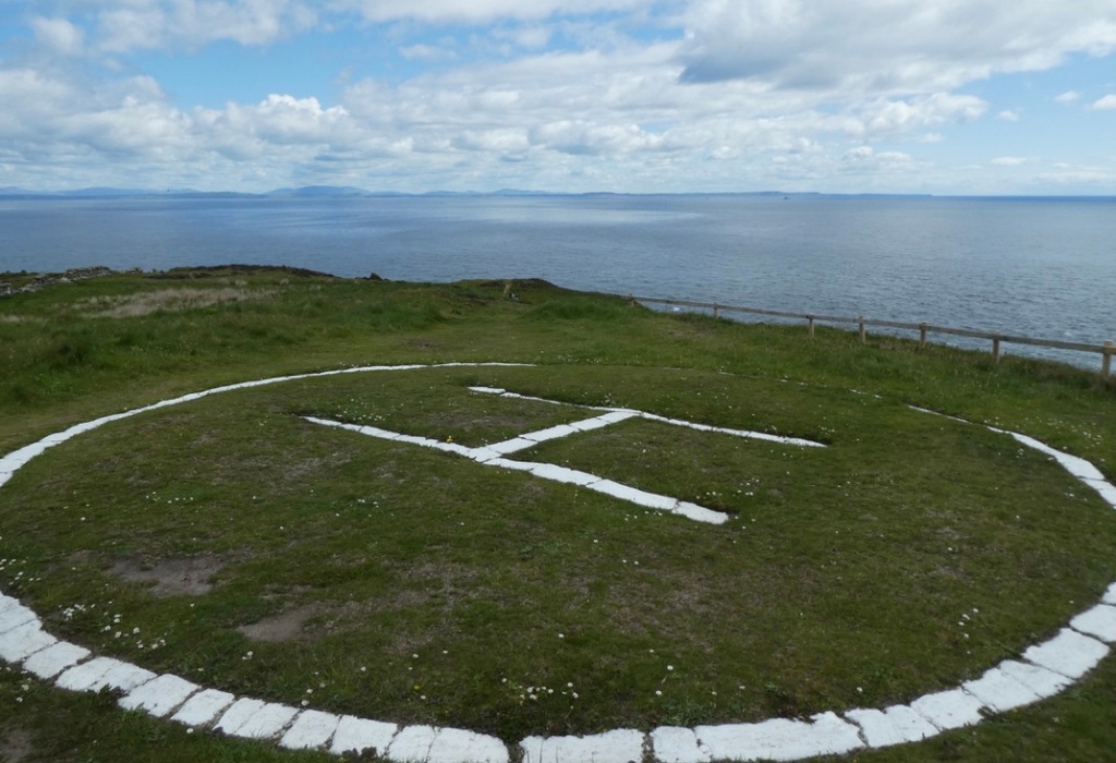
Eventually we came to the lighthouse at Crammeg Head. The current lighthouse was built in 2009 though there has been a lighthouse on this site since 1913. Unusually there is no track from the lighthouse, I suppose it is entirely serviced by helicopter and so a temporary track for the time of construction was all that was required.

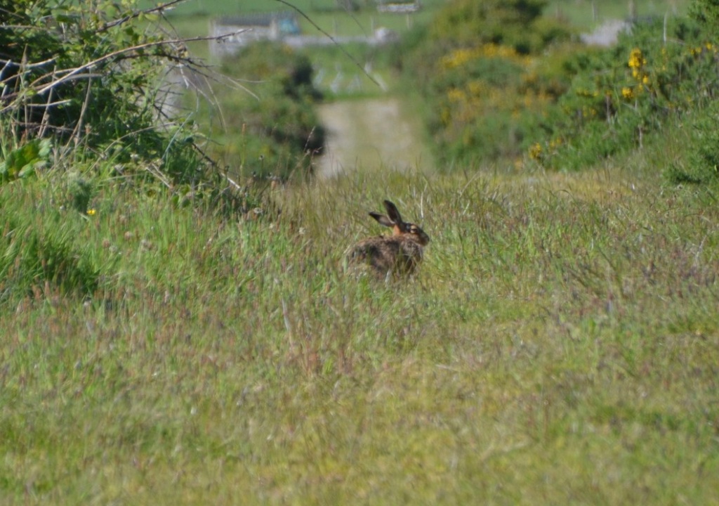
We had planned to follow this so-called core path as far as Portencorkrie Bay and then turn inland at Bay House. The decision to abandon that idea was taken for us by the complete absence of any path and more barbed-wire obstacles so we turned to Slockmill and followed the road to the east side of Cairn Fell, where another core path leads eventually to Port Logan. The roads and tracks we followed were extremely quiet, in fact zero vehicles. Where we passed the end of the track from Bay House, there was no track or path to be seen and so we were pleased with diversion we decided upon. There is not much to say about the walk to Port Logan. We were briefly entertained by a hare running along the track ahead of us.